
A licensed pilot flies a multispectral drone over your fields and processes the imagery into georeferenced crop-vigour maps such as NDVI and NDRE. The maps show stress, uneven emergence, drainage problems and nutrient shortfalls before they are obvious from the ground. Deliverables include maps and zone boundaries, plus variable-rate prescription files in shapefile or ISO-XML format for compatible spreaders and sprayers. Flights follow local aviation rules. Weather may move the flight date.
Image 1 of 2
Farm Services
Precision-Ag Drone Multispectral Survey
NDVI/NDRE crop-vigour maps and variable-rate prescription files
€690.00 / survey
Sold by Loamwise Agronomy Services
| Specification | NDVI/NDRE crop-vigour maps and variable-rate prescription files |
|---|---|
| MOQ | 1 survey |
| Origin | Netherlands |
| Lead time | 14 days |
| Unit | survey |
Survey area: Up to 50 ha
Up to 50 ha
50–200 ha
200–500 ha
Not what you need?
Listed supplier
Loamwise Agronomy Services
Agronomy consultancy offering drone surveys, regenerative-transition programmes, soil-carbon measurement and pollination services.
At a glance
- Origin: Netherlands
- Lead time: 14 days
- Listed: Oct 2026
Overview
Applications
- Flights follow local aviation rules
- Weather may move the flight date
Benefits
- Traceable origin: Sourced from Netherlands with documentation available on request.
Latest listings
Related products
Similar sustainable materials from verified suppliers.
4 listingsBrowse all
Farm Services
Managed Beehive Pollination Service
Agriculture
Loamwise Agronomy ServicesNetherlands
Farm Services Certified
Soil Organic Carbon Measurement & Verification
Agriculture
Loamwise Agronomy ServicesNetherlands
Farm Services
Regenerative Agriculture Transition Programme
Agriculture
Loamwise Agronomy ServicesNetherlands
Farm Services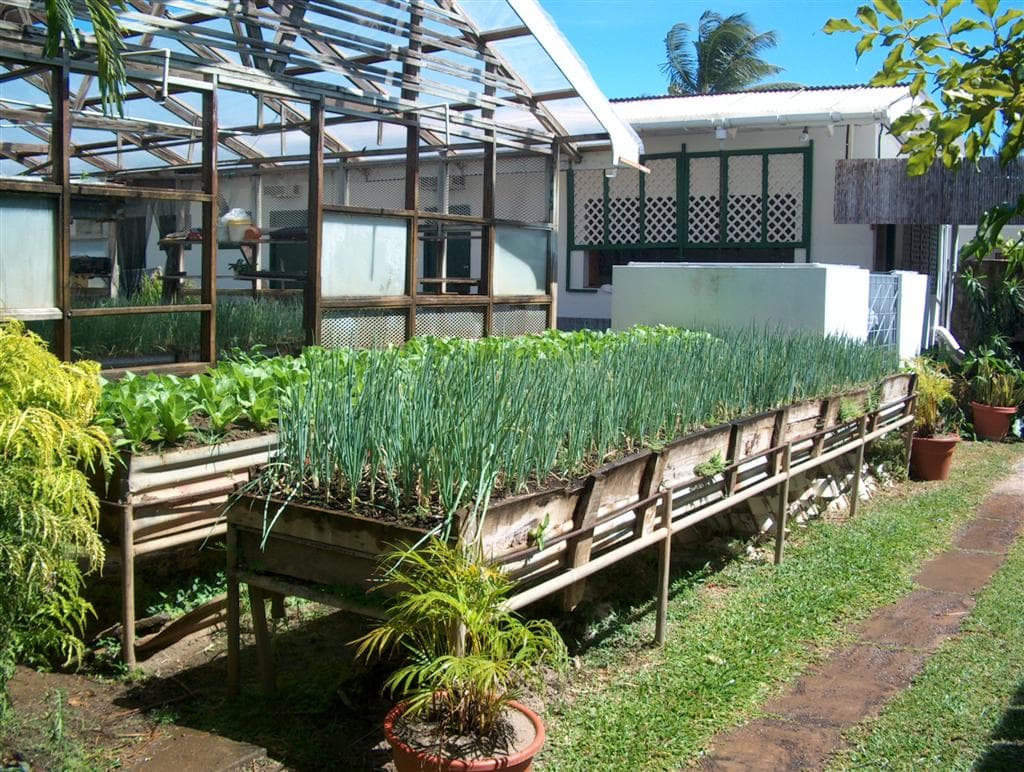
Hotel Kitchen Garden Setup Service
AgricultureTourism
The Ravenala Attitude HotelMauritius